|
|
Dominican Paragliding Open Distance Record
Pilot: Claude Montpetit
Nationality: Canadian (Quebec)
Date: 03 Feb 2002
Site: Azua (El Peñón)
Takeoff altitude: 185 m (616 ft)
Takeoff height from ground level: 90 m (300 ft)
Landing: Route to San Juan
Total Distance: 59,5 km (37 miles)
Maximum height: 2406 m (7943 ft) - GPS verified -
Maximum climb rate: 6,6 m/s (1300 ft/min)
Maximum descend rate: 5,7 m/s (1149 ft/min)
Takeoff time: 11:50 AM
Landing time: 3:15 PM
Total time flying: 3 h 25 m (one hour in the takeoff area)
Wing: Apco Simba
|
When visiting the southwest region in the Dominican Republic, you haven't many options for renting a fully insured motorbike. It is a good idea to look for a rental vehicle, be it a motorbike, a regular car or even a 4 wheel drive SUV, in Santo Domingo. Santo Domingo is home of many companies that will rent a car providing the best car insurance in the market.
|
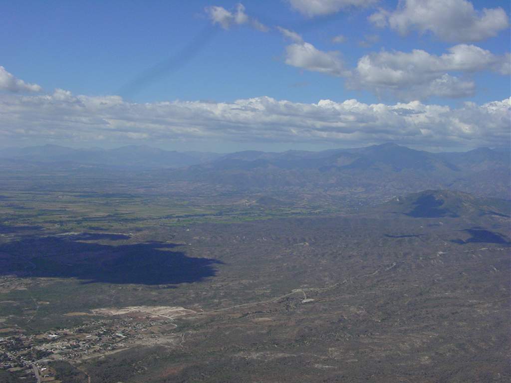
Azua panorama view:
Photo by Julián Molina.
 |
Panorama view of the Azuan Central Range, to the North. The takeoff spot in located in the first small range at only 185m (616 ft) above the sea level. |
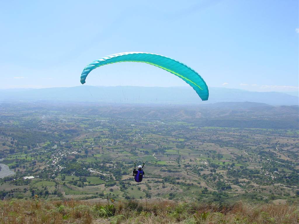
Azua from above:
All the following pictures by Claude Montpetit.
 |
 |
 |
 |
| Over the takeoff, a view to the East, about 1500 m (5000 ft) high. |
From the same position, a view to the South South West. In the back, in the end of the dirt road that contours the coast, it's "La Playita" (The little beach), a beautiful coastal soaring site by the Caribbean sea. |
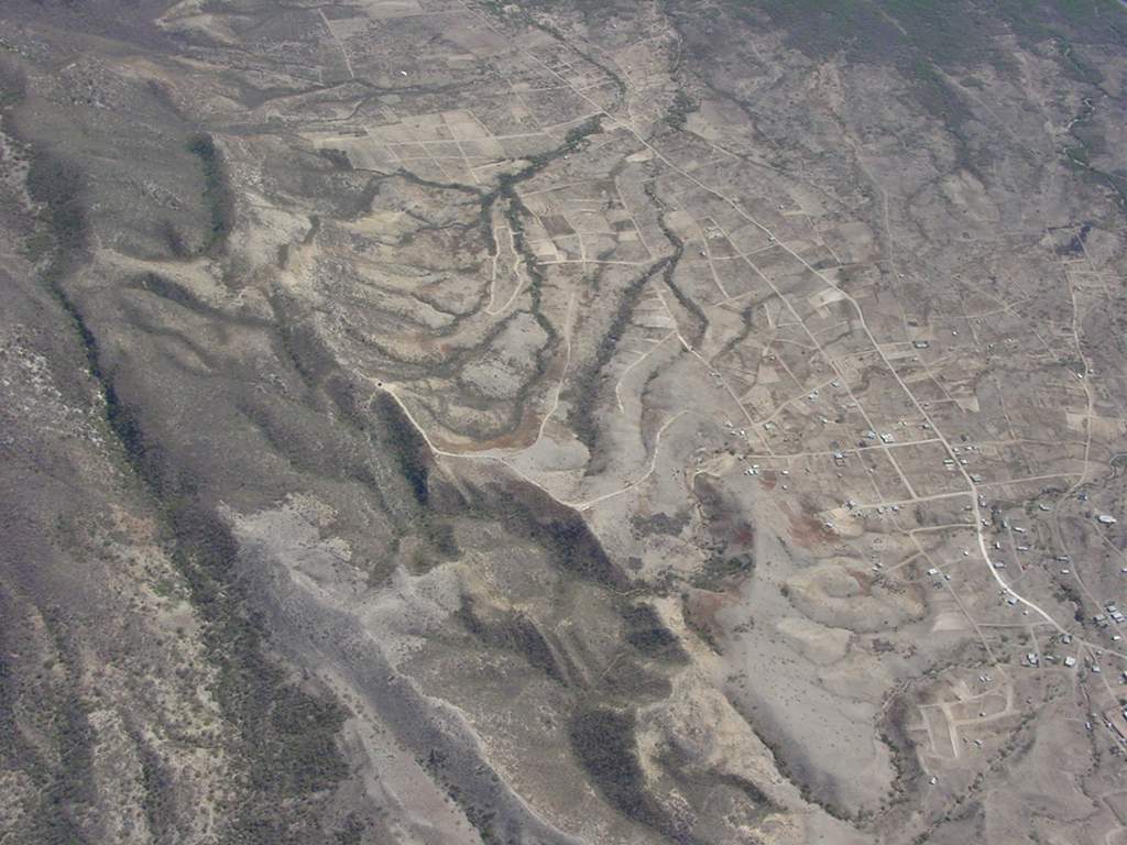
Looking down, you can spot the takeoff at the end of the dirt road that goes up to the first small range. |
Still above the takeoff, a view to the West: the town of Azua. |
|
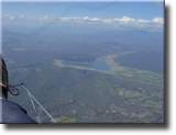
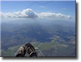
The Record Flight in images:
 |
 |
 |
 |
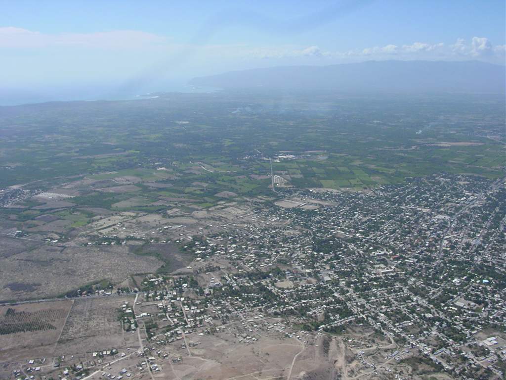
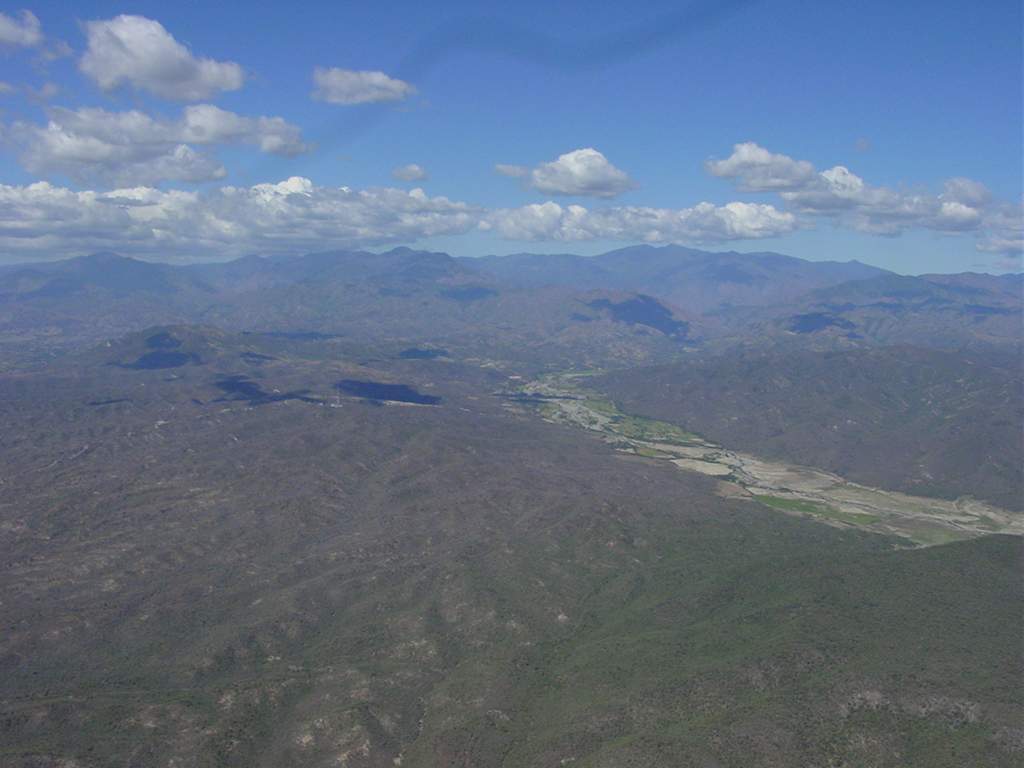
| Over the first range of mountains, 6 km (4 ml) away from the takeoff, a view to the west, the first hills and the towns in the valleys. |
From the same position, a view to the West South West. In the back, the great valley of Azua Province. |
From the same position, a glance back (view to the South East). Down in the left corner, a mountain called "Pan de Azucar" of 980m (3300 ft). in the back, the bay of Ocoa (Caribbean sea). somewhere inbetween, Azua's takeoff. |
One kilometer ahead, a view to the North West. the first mountains over 1300 m (4300 ft). |
|
|
|
|
 |
 |
 |
 |
| Country people's houses at about 1000 m (3300 ft) in a mountain without a single road. |
From cloudbase, a North West view, about 13 km (8 ml) away from the takeoff. |
In the same position, a view back (South East). |
Heading North West, about 5 km (3 ml) to Peralta, having flown 15 km (9 ml) at 1600 m (5300 ft). |
|
|
|
|
 |
 |
 |
 |
| From the same position, a South West view. |
Cloudbase at 1400 m (4600 ft), almost over Peralta, looking back (South East view). |
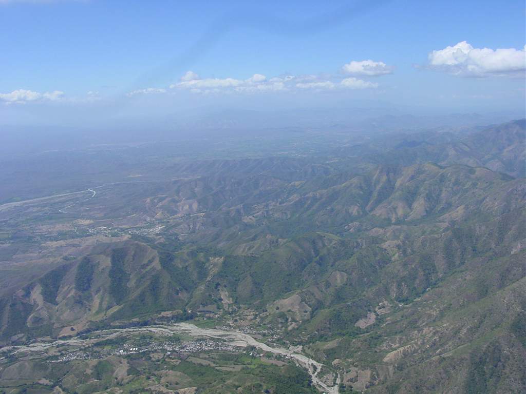
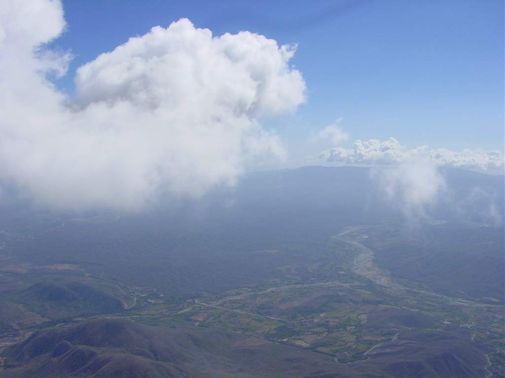
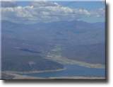
At about 30 km away from the takeoff, the range turns North. Claude decides to go on into the flat lands. To the North West, Sabana Yegua's dam in the gates of San Juan valley. |
From the same position, a Northern view shows the way to Padre Las Casas. You can see the ranges turning back to the North West. The last siluete against the sky is Pico Duarte of 3175 m (10583 ft), the highest of the Antilles. |
|
|
|
|
 |
 |
 |
 |
| Crossing the Viajama river, North of Las Yayas, in a South East view. |
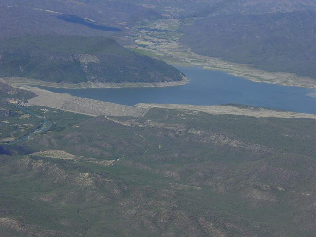
About 38 km (23 ml) away from the takeoff, we can see Sabana Yeguas dam a little bit closer. During the wet season, the lake increases it's area about three time, fed by the river Yaque del Sur, which comes from the highest area of the Central Range. |
The fertile valley of San juan to the North West of the dam. |
Looking South at cloudbase about 2300 m high (7600 ft). The first formations of Siera de Neyba that separates the valley of Neyba from the valley of San Juan. |
|
|
|
|
 |
 |
 |
 |
| Another North view. Viajama river and the way from Las Yayas to Padre Las Casas. |
Higher than 2300 m (the variometer reads 7747 ft), Claude continues his glide towards the dam, over the route to San Juan. |
A change in the course to the North to go after a short stree of nice cumulus. |
Now closer to the dam loosing altitude in the long glide. |
|
|
|
|
 |
 |
 |
 |
| View to the North West at almos 45 km (28 ml) from the takeoff. In the background, mounts over 2800 m (9300 ft) behind the cumulus. |
Beyond the dam, a North view. Yaque del Sur river comming down from the mountains. |
Now the dam is behind, a North East view. |
In the XC route, the dirt road going from El Guanito to El Coco. |
|
|
|
|
 |
 |
 |
 |
| Looking back, to the South East, Yaque del Sur river runs down to the Caribbean sea. |
Looking down to the West, san Juan river runs along the road, 52 km (32 ml) away from the takeoff. |
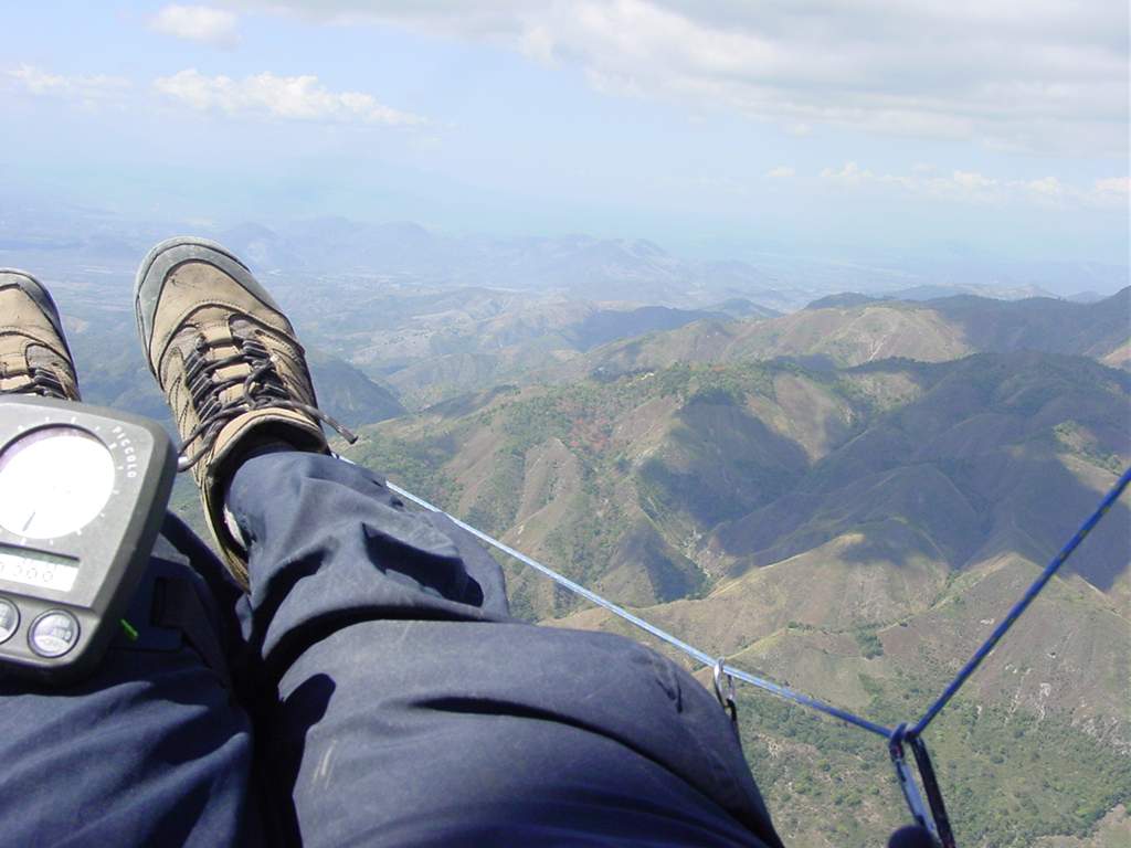
Claude Montpetit. The face of the record. |
Looking West North West, less than 10 km (6 ml) away, the city of San Juan de la Maguana. |
|
|
|
|
 |
 |
 |
 |
| Loosing altitude above the main road. |
The last minutes of the flight. |
Landed beside the road to San Juan, 59,5 km (37 ml) away from Azua. |
Satisfied? |
|
Las Agüitas (San Juan), Claude Montpetit's point of view:
 |
 |
 |
 |
| The relaxed 25 minutes walk up to the takeoff. |
View to the West. In the background, cumulus wait in the 50 km (31 ml) XC route up to the border between Dominican Republic and Haiti. |
Taking of to the South East. A beautiful view of San Juan valley. |
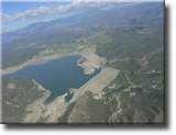
North West view, at 1000 m (Vista al Nor Oeste, a 1000 m (3300 ft) over the takeoff. Sabaneta's dam rests among the 2000 m (6600 ft) high mountains. |
|
|
|
|
 |
 |
 |
 |
| The dam's wall is a great evening soaring site. |
The takeoff spot from behind. |
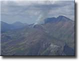
The first high mountains of the Central Range. |
The first transition over the lake towards El Naranjo, crowned by 2400 m (8000 ft) high cumulus. |
|
|
|
|
 |
 |
 |
 |
| Another view of the takeoff before the first long glide. |
Burning fields South from El Naranjo. |
The takeoff crew in Las Agüitas. |
The glide over Sabaneta's dam. |
|
|
|
|
 |
 |
 |
 |
| Between the cumulus and the impresive slopes of El Naranjo. |
Looking back, the Western side of El Naranjo. |
Gliding back to the takeoff. |
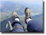
Manouvers? ...why not? |
|
|
|
|
page recordflight caribbeanfreeflying
|